Drones
Virtual Tours
Research and Publication
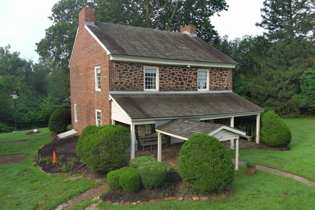
Drone Services
Our specialty is preparation of photogrammatic documentation of historic buildings and structures through aa combination of drone and ground-level photographs and LiDAR images. The end product is a scaled three-dimensional model of the building or structure that may be used as a permanent record, to identify areas in need of maintenance and repair, and for your outreach efforts.
We can also provide drone photography for sutvey, National Registerr or HABS/HAER documentation of buildings, structures, landscapes and districts. We are also prepared to work with you and your contractor to help pinpoint the locations of water leaks and infiltration, spalling, missing mortar, and other building repair issues.
Virtual Tours
Sometimes the best way to attract new visitors to your museum or historic house, village or district is by showing them what they are missing. By using a combination of drone, DSLR camera, 360 degree camera, and LiDAR we can work with you to assemble an enticing and comprehensive virtual tour. An example of one such tour (still in process is below).
https://kuula.co/share/collection/7MHvj?logo=0&info=0&fs=1&vr=1&sd=1&initload=0&thumbs=1
Research and Publication
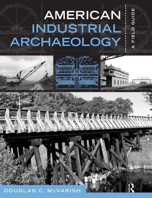
With over 30 years of archival research and several published books and outreach documents, we arre eager to discuss your research and publication needs
 Earth and Sky Historical Services